
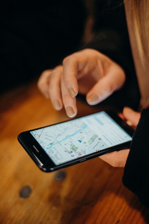
Online maps make it easier to find places, plan trips, and explore unfamiliar areas. With a few basic skills, you can use them with greater confidence and avoid common mistakes.
Whether you are walking across town, driving to a new destination, or looking for a nearby business, online maps offer useful information in one place. They can show routes, travel times, landmarks, traffic updates, public transportation options, and more.
This guide explains how to get started and how to make better decisions when using map apps and websites.
Start With the Basics
Most online map tools work in similar ways. You can search for a location, view it on a map, and request directions from one place to another.
Before planning a trip, learn these basic features:
– Search for an address, business, landmark, or general area
– Zoom in and out
– Switch between map and satellite views
– Choose a travel method, such as driving, walking, cycling, or public transportation
– Save places for later
– View route options and estimated travel times
– Check nearby services and points of interest
If you are new to online maps, spend a few minutes exploring the screen before starting a trip. Try searching for your home, a local store, or a familiar park. This low-pressure practice can help you recognize common buttons and symbols.
Search for a Location Clearly
The quality of your search affects the results you receive. When possible, enter a complete address, including the street name, city, and state. For businesses, include the name and location.
For example, instead of searching for “Main Street,” try entering:
– 125 Main Street, Austin, Texas
– Central Library, Denver, Colorado
– Greenway Park, Portland, Oregon
A clear search helps prevent confusion when several places have similar names. This is especially useful for restaurants, hotels, schools, shopping centers, and businesses with multiple locations.
If you are searching for a general place, such as a beach or hiking area, review the results carefully. Make sure the selected result is in the correct city or region before planning your route.
Learn How to Read the Map
Online maps use colors, lines, and symbols to present information. These details may vary between services, but many features are common.
Roads are often shown as lines of different sizes or colors. Major highways may appear wider, while smaller streets may be thinner. Water, parks, and public areas often have distinct colors that make them easier to identify.
Map symbols may represent:
– Restaurants and cafes
– Gas stations
– Parking areas
– Hospitals and public buildings
– Hotels
– Stores
– Transit stations
– Parks and recreation areas
Zooming in reveals more details, while zooming out gives you a better view of the surrounding area. Use both views when planning. The close view helps you identify entrances and nearby streets, while the wider view helps you understand the overall route.
Choose the Right Travel Mode
Before requesting directions, select the correct travel method. A route designed for driving may not be suitable for walking, cycling, or public transportation.
Driving
Driving directions usually include major roads, turn-by-turn instructions, estimated travel time, and possible delays. Check whether the route includes toll roads, ferries, or restricted roads if those details matter to you.
Walking
Walking routes may use sidewalks, paths, pedestrian bridges, and shortcuts that are not available to vehicles. Review the route for busy crossings, steep sections, or areas where sidewalks may be limited.
Cycling
Cycling directions may favor bike lanes and paths. However, map information can change, so check the route carefully and use your judgment about road conditions and comfort level.
Public Transportation
Transit directions often combine buses, trains, walking, and transfers. Check departure times, service days, and the direction of travel. When possible, confirm the information with the local transportation provider.
Compare More Than One Route
Online maps often suggest several routes. The fastest option is not always the best option for your needs.
When comparing routes, consider:
– Total travel time
– Distance
– Traffic or road delays
– Toll roads
– Number of turns
– Difficult intersections
– Walking distance
– Transfers between transit services
– Road or path conditions
A slightly longer route may be easier to follow or less stressful. If you are traveling with children, carrying bags, or visiting an unfamiliar area, a simple route may be more useful than one that saves only a few minutes.
Read the route summary before starting. This gives you a general understanding of where you are going instead of relying only on individual instructions.
Check Important Details Before Leaving
Map information is helpful, but it may not always be completely current. Business hours, road layouts, construction, and transit schedules can change.
Before leaving, confirm key details such as:
– The destination’s address
– Opening and closing hours
– Parking availability
– Entrance location
– Transit schedules
– Road closures or construction
– Whether the destination has moved or changed names
For a business or event, look for a recent website, phone number, or official listing. Online reviews and map entries can be useful, but they may not reflect the latest changes.
Download or Save Information When Possible
Internet access may be limited in some areas. Many map services allow you to save a location or download part of a map for offline use.
Useful items to save include:
– Your destination
– Your starting point
– A hotel or meeting place
– A parking area
– A transit station
– An alternate route
Even when offline maps are available, some features may not work, such as live traffic, updated transit information, or business listings. Treat saved maps as a backup rather than a complete replacement for current information.
You can also write down the destination address and a few major roads along the route. This gives you a simple reference if your phone battery runs low or your connection is interrupted.
Use Turn by Turn Directions Wisely
Turn-by-turn navigation can be convenient, but do not follow instructions automatically without looking at your surroundings. Keep your attention on the road, path, signs, and other people around you.
For drivers, set up the route before moving and use voice directions when available. If you need to change the route, pull over in a safe location first.
For walkers and cyclists, stop in a safe place when checking the map. Look for visible landmarks, street signs, and building numbers that confirm you are going the right way.
If an instruction seems unsafe, impossible, or unclear, pause and review the full route. You can often select another option or continue to a larger nearby road.
Protect Your Privacy
Map apps may use location information to provide directions and nearby results. Review the app’s privacy and location settings so you understand what information is being shared.
Simple steps include:
– Turn location access on only when needed
– Review saved places regularly
– Avoid sharing your live location publicly
– Use a screen lock on your device
– Sign out of shared or public devices
These habits help you use map tools comfortably while keeping control of your personal information.
Build Confidence Through Practice
The best way to become comfortable with online maps is to practice in familiar places. Plan a route to a nearby store, compare two options, and try switching between map and satellite views.
As you gain experience, you will become better at recognizing streets, landmarks, directions, and route patterns. You will also learn when to trust the map and when to double-check information.
Online maps are powerful tools, but they work best when combined with common sense and careful attention. Search clearly, review route details, confirm important information, and keep a backup plan. With these simple habits, you can use online maps more confidently wherever you go.